Dronensicsflight intel
Point Dronensics at a flight log, a survey dump or the firmware image itself. It decodes them without discarding anything, and shows you the evidence against the ground the aircraft actually flew.
01
Photos and video, one timeline
A survey drone leaves behind photos, video, position marks and satellite data, each keeping its own time. Dronensics lines them all up on one clock, so every photo sits exactly where and when it was taken.
- photos
- video
- precise positioning
Cesium World Terrain · Bing Maps imagery via Cesium ion · © OpenStreetMap contributors
Cesium World Terrain · Bing Maps imagery via Cesium ion · © OpenStreetMap contributors
Imagery © Esri · Elevation: AWS Terrain Tiles / SRTM · MapLibre
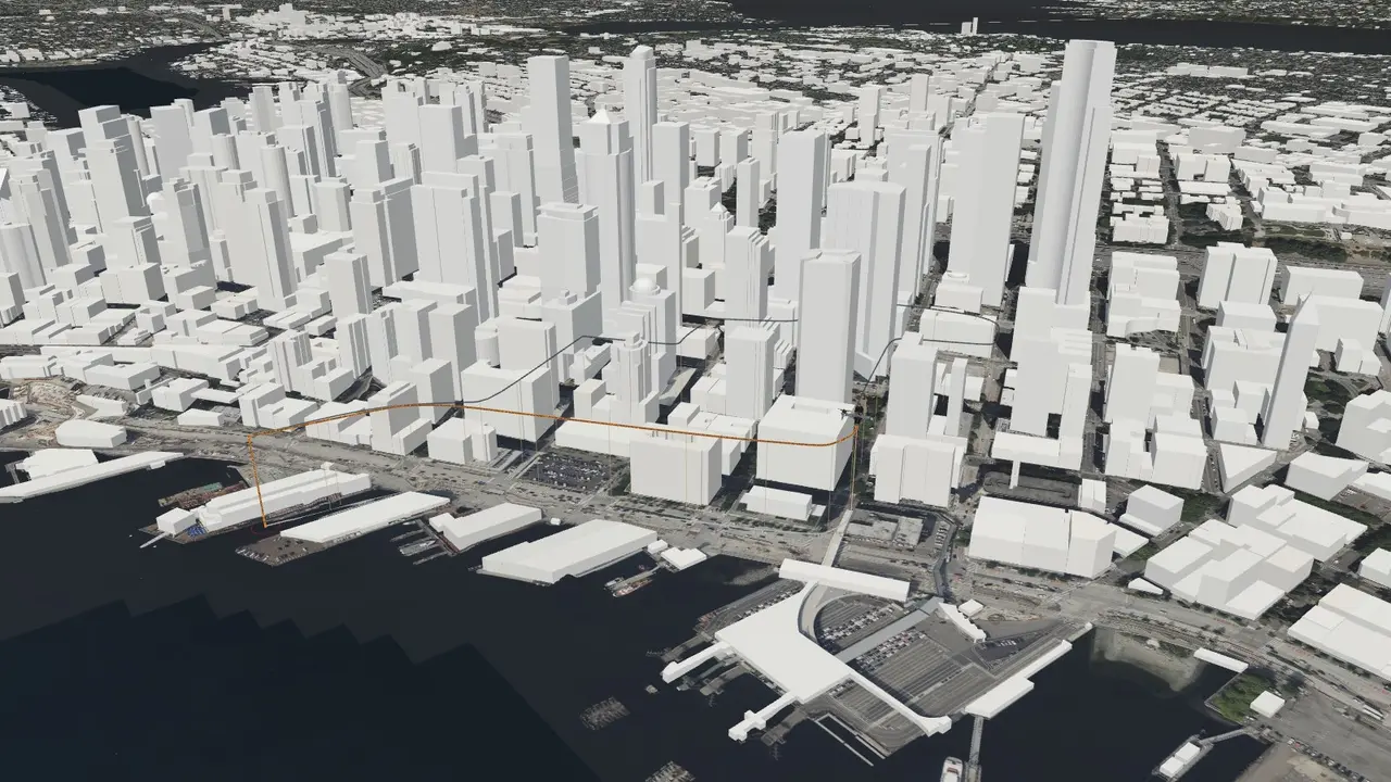
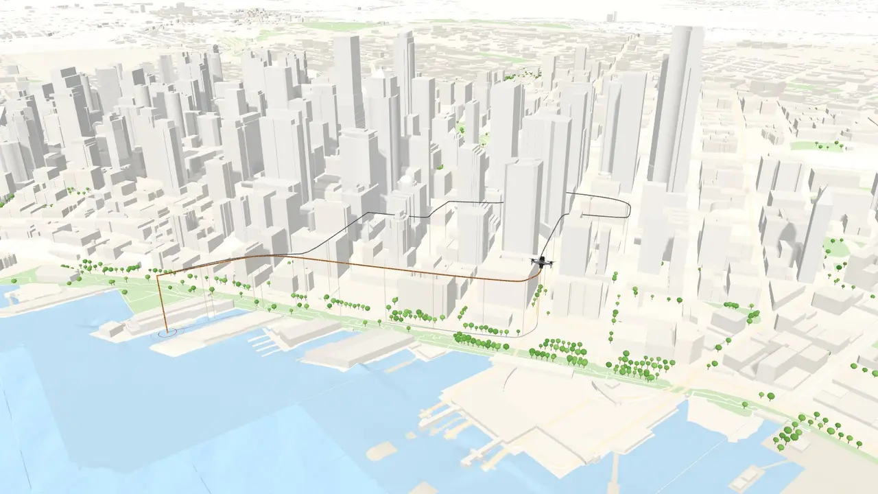
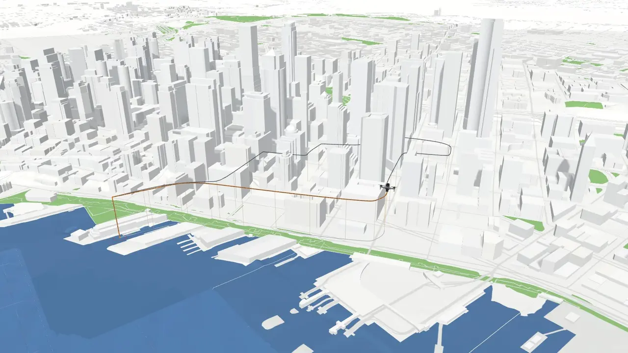
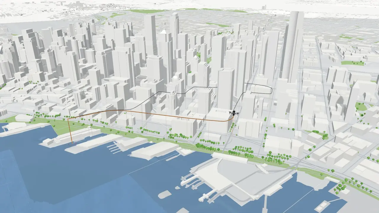
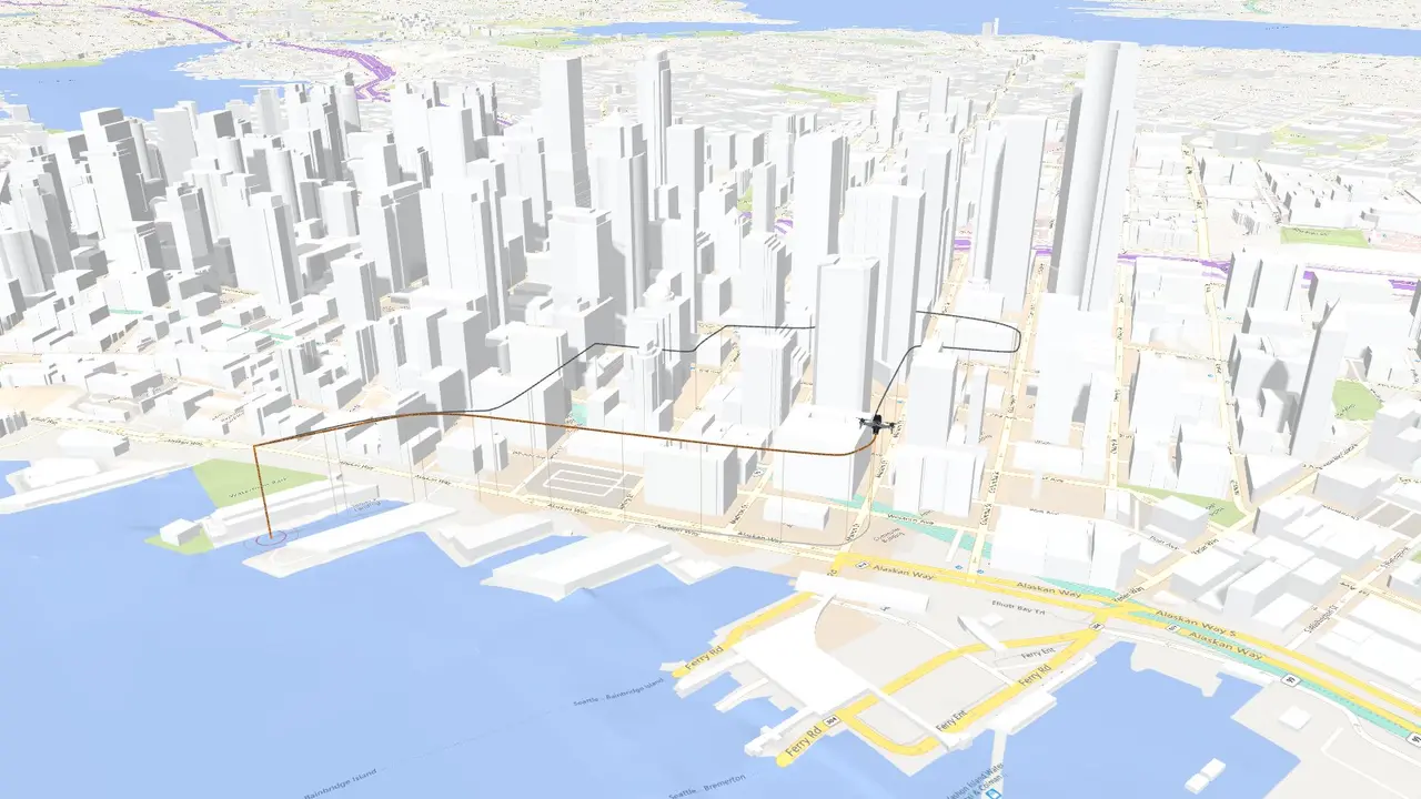
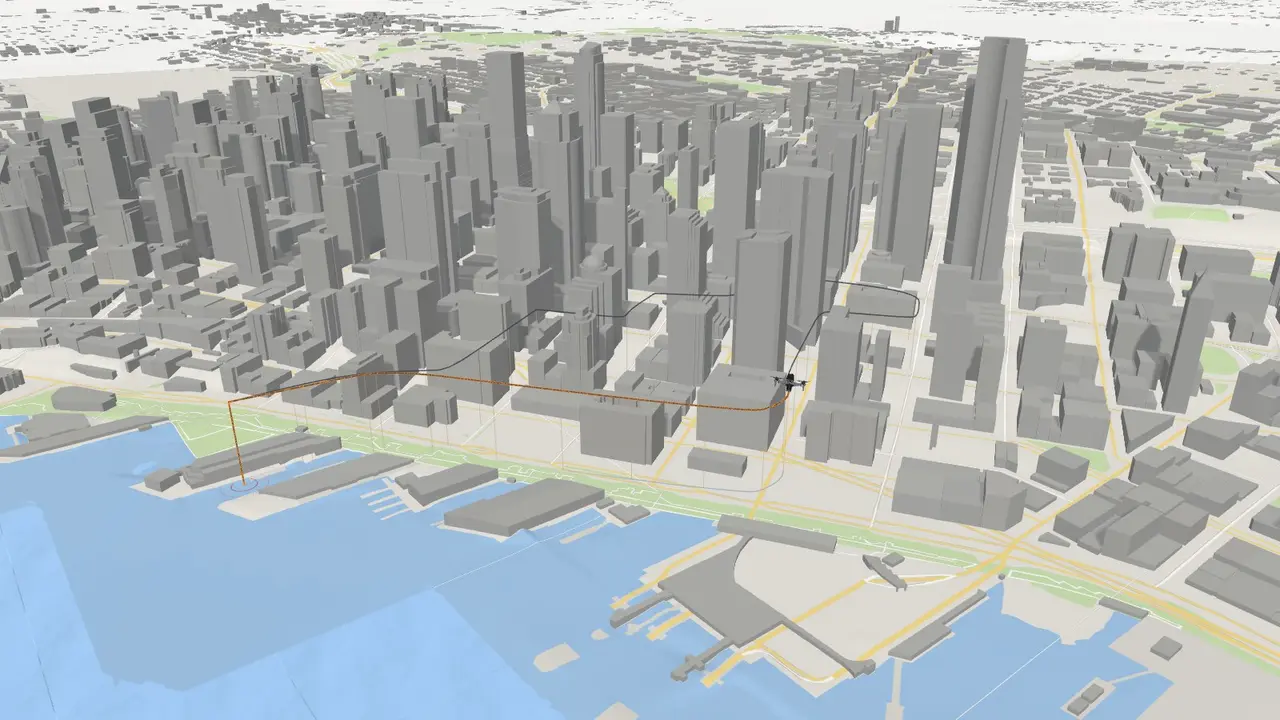
SatellitePastelClayModelStreetsLiberty
01Chase camera
Fly itback.
A flight log, replayed over the real city, frame for frame.
02First person
Sit inthe seat.
The pilot's eye: every turn, every climb, exactly where it happened.
03Map
Every metre,charted.
The whole track on the map, every turn where it happened.
04Themes
Six looks.One flight.
Satellite, streets, clay, model — read the ground the way you need it.
Drop a log.
Fly it back.
Request a demo The trace, running
Altitude and speed on one instrument, swept the way the review plays a flight back.
AltitudeSpeed
00:00